Short Biography

I am technically coordinating the INSPIRE directive at the Austrian Federal Office of Metrology and Surveying and providing lectures on cartographic interfaces, geospatial data infrastructures and spatial data engineering at the Vienna University of Technology in Vienna and Hasso Plattner Institute in Potsdam.

I finished my PhD in 2008 with the focus on semiotics in 3D maps at the Vienna University of Technology.

My main focus in scientific work is the communication of spatial related data, cartographic heritage, spatial data infrastructures (SDI´s), geospatial knowledge networks and the management of geospatial processes in Service-Oriented Mapping.

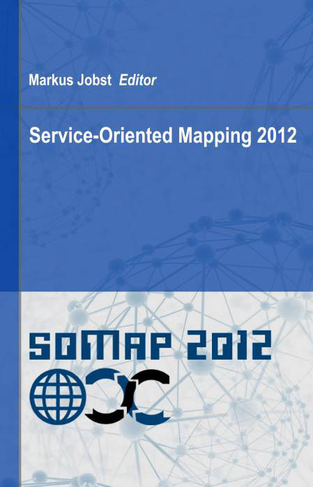
Image Portrait Markus Jobst

Teaching

Cartographic Interfaces

Cartographic Interfaces: modern cartography and webmapping, influence of open data and free open source software, standardisation in geoinformation, spatial data infrastructures, data quality and interoperability, service-oriented architectures and their requirements

Geoinformation Procedures

Geoinformation technologies: geodetic recording techniques, characteristics of the primary-, secondary- and tertiary model, frameworks for geocommunication, methods of computer graphics for a naive transmission of space, importance of non-photorealistic rendering, project- process and requirements management in geoinformatics

Geospatial Communication

Geospatial communication: visualisation concepts, impact oriented analysis, impact factors in the tertiary model, knowledge creation and -structures, success factors in geocommunication, linguistic influences in geocommunication, theory of geocommunication

Naive Transmission of Space

Naive transmission of space: multdimensional transmission of space, depth cues, semiotic modelling, frameworks of computer graphical implementations, naive channels of knowledge transmission, perceptive manipulation, systems for geovisualisation

Spatial Data Engineering

Spatial Data Engineering and Service-Oriented Mapping: principles of Service-Oriented computing, paradigms of geoinformation processing, requirements of homogenisation and interoperability for geospatial data and services, geospatial knowledge networks, use cases and their pragmatic dimension

Spatial Data Modelling and Integration

Spatial data modelling and integration: architectures for geospatial modelling, fundamentals of geospatial databases in use for primary and secondary models, performance, reliance, data integrity, consistency and independency

Book Publications

Service-Oriented Mapping 2012

This book “Service Oriented Mapping 2012” presents diverse aspects of modern map production and geobusiness that were collected during the first Symposium on Service Oriented Mapping from November 22nd to 23rd 2012 in Vienna. The content of the book may give the impression that it is inhomogeneous and this is true. Important stakeholders qualified within the double-blind peer review process by an international program committee. The contributions based on varying backgrounds and experiences of participating stakeholders were orchestrated for this interesting topic on “service oriented mapping”.
The book consists of seven sections with several chapters. 37 chapters all together, which highlight the current situation and experiences of service-oriented mapping. An additional hands-on workshop section with 12 lectures introduces the reader to webmapping and geo web services.
The sections are “Introduction to Service-Oriented Mapping”, the “Diversity of Service-Oriented Map Production”, “Selected Use Cases”, “Advanced Perspectives of Service-Oriented Mapping”, “Geobusiness Considerations and Perspectives”, “Service-Oriented Atlas Applications” and the “Cookbook on Webmapping and Geo Web Services”.
Markus Jobst (Ed.), Jobstmedia Management Verlag, Wien, ISBN-13: 978-3-9502039-2-9  

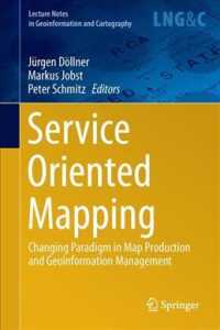
Service-Oriented Mapping

Service-Oriented Mapping is one main paradigm to embed big data and distributed sources in modern map production, without owning the sources. This architecture requires specific frameworks, tools and procedures in order to be stable and reliable. Beside the technological structures, the organisational aspects as well as aspects of supply chain and GIS capability maturity provide powerful tools to make modern geoinformation management successful.

The technological perspective of modern map production involves IT architects, programmers, designers, GI professionals and cartographers. The domains and their knowledge accumulate for the use cases of spatial data acquisition, spatial data mining, spatial information creation and processing as well as geodesign.

This book compiles various perspectives related to modern map production. The main focus of attention is the new paradigm of “sharing and reuse”, which uses a decentralized, service-oriented access to spatial data sources. 

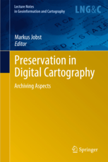
Preservation in Digital Cartography

The intention of this book is to shape the opinion of affected parties and to bring together various disciplines. Therefore adjacent chapters will generally deal with information technologies, Service-Oriented Architectures, cybercartography, reproduction and historic cartography, which all together can be subsumed in prospective cartographic heritage.

The survival of this digital cartographic heritage will base on long-term preservation strategies that make use of intensive dissemination on the one hand and sustainable digital archiving methods on the other. This includes a massive development of paradigm that expands from “store-and-save” to “keep-it-online”.

The paradigm “store-and-save” is mainly used for analogue masters that consist of storage media, like vellum, and their visible content. Avoiding the storage media from degeneration in climate-controlled areas will help to keep the content accessible. In the digital domain the high interdependency of storage media, format, device and applications leads to the paradigm “keep-- online” which for example describes the migration to new storage devices. In fact this expansion of paradigm means that the digital domain calls for ongoing actions in order to preserve cartography for a long term.

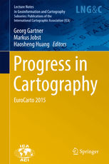
Progress in Cartography

This book gathers the latest developments in modern cartography, ranging from the innovative approaches being pursued at national mapping agencies and topographic mapping, to new trends in the fields of Atlas Cartography, Cartographic Modelling, Multimedia Cartography, Historical Cartography and Cartographic Education. Europe can look back on a long and outstanding history in the field of Cartography and Geoinformation Science. Its rich and leading role in the domain of cartography is proven by contributions from various countries and with a diverse range of backgrounds.

CONTACT ME

Shape your future cartography with a solid management fundament.