SDG in action

Dear colleagues,
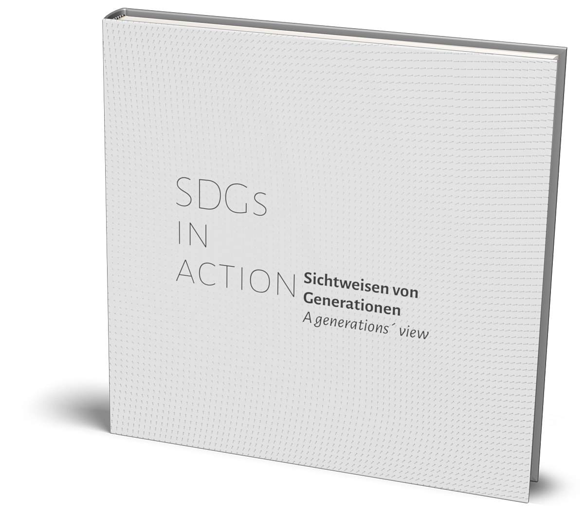
Allow us to inform that our book "SDG IN ACTION a generations' view" is out (Dezember 4th 2021)

From our perspective the views on SDGs coming from various generations and expressed as maps are a valuable documentation how we experience today´s problems, how our measures develop and how we express the topics with maps. Beyond this book we try to initiate an ongoing documentation that may lead to further editions. 

We evaluate this topic from our eyes of map production and geoinformation management: are sufficient data, information, references with appropriate licences, formats and interfaces around to support our desire of geospatial expression.

Regards, Markus Jobst and Peter Schmitz

Terms of References

Enhance the study on map production- and process management, geoinformation logistics and geo-business;

Research on the impact of modern communication methods on map production, business models, change management and design thinking;

Research the impact of Service Oriented Architectures and future technologies on Map-Production, Publishing and Archiving.

Research the methods of Service-Oriented Mapping maturity evaluation and SOMAP management.

Evaluating the impact of digitalisation with its characteristics of sharing, reuse and transparency on map production.

Collect requirements and document procedures of collaborative map production.

Considering the geospatial semantic web for map production.

Encourage international collaboration on the study of map production and geoinformation management with particular emphasis on bridging research, government and commercial sectors.

Participate and contribute to activities of other relevant ICA interest groups (e.g. relevant ICA Commissions, National Mapping Organisations, NGO´s, Enterprises, URISA).

Publications in and support of the International Journal of Cartography.

Chairs

The ICA Commission on Map Production and Geoinformation Management is chaired by ...

CSIR Built Environment, Meiring Naude Rd, Brummeria 0186, Pretoria 

and

Centre for Geoinformation Science , University of Pretoria, Private Bag X20, Hatfield 0028, South Africa 


Federal Office for Metrology and Surveying, Information Managment - INSPIRE, Schiffamtsgasse 1-3, 1020 Vienna, Austria

and

Vienna University of Technology, Departement of Geodesy and Geoinformation, Research Group Cartography, Erzherzog Johann Platz 1, 1040 Vienna, Austria

                                 Books

SDG's in Action - a generations view  2021

Designed as an atlas, the maps, statements, and biographies of contributors illustrate the range of perspectives on the SDGs and their motivations for establishing a sustainable world.

The book "SDGs in action - a generations view" gives institutions, NGOs and educational institutions an idea of the views of different generations on the UN Sustainable Development Goals.

Number of chapters: 28
Number of pages: 172
Number of images: 77
Dimensions of the sheet (in millimeters): 300 x 300
Print ISBN-13: 978-3-9502039-7-4
E-book ISBN-13: 978-3-9502039-8-1
Published by: Jobstmedia Präsentation Verlag
Date published: 4.12.2021
Language(s) of the text: German and Englisch

Dein eBuch ist verfügbar unter:
Your ebook is available at:
DOI (ebook): 10.5281/zenodo.5602021

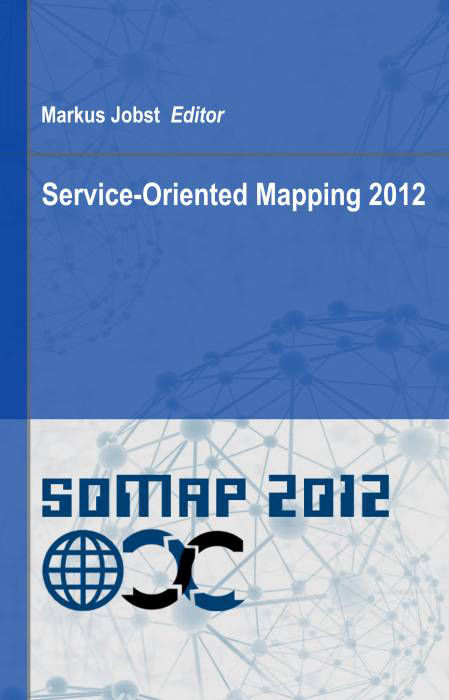
Service-Oriented Mapping 2012

This book “Service Oriented Mapping 2012” presents diverse aspects of modern map production and geobusiness that were collected during the first Symposium on Service Oriented Mapping from November 22nd to 23rd 2012 in Vienna. The content of the book may give the impression that it is inhomogeneous and this is true. Important stakeholders qualified within the double-blind peer review process by an international program committee. The contributions based on varying backgrounds and experiences of participating stakeholders were orchestrated for this interesting topic on “service oriented mapping”.

The book consists of seven sections with several chapters. 37 chapters all together, which highlight the current situation and experiences of service-oriented mapping. An additional hands-on workshop section with 12 lectures introduces the reader to webmapping and geo web services.
The sections are “Introduction to Service-Oriented Mapping”, the “Diversity of Service-Oriented Map Production”, “Selected Use Cases”, “Advanced Perspectives of Service-Oriented Mapping”, “Geobusiness Considerations and Perspectives”, “Service-Oriented Atlas Applications” and the “Cookbook on Webmapping and Geo Web Services”.

Markus Jobst (Ed.), Jobstmedia Management Verlag, Wien, ISBN-13: 978-3-9502039-2-9  

Service-Oriented Mapping

Service-Oriented Mapping is one main paradigm to embed big data and distributed sources in modern map production, without owning the sources. This architecture requires specific frameworks, tools and procedures in order to be stable and reliable. Beside the technological structures, the organisational aspects as well as aspects of supply chain and GIS capability maturity provide powerful tools to make modern geoinformation management successful.

The technological perspective of modern map production involves IT architects, programmers, designers, GI professionals and cartographers. The domains and their knowledge accumulate for the use cases of spatial data acquisition, spatial data mining, spatial information creation and processing as well as geodesign.

This book compiles various perspectives related to modern map production. The main focus of attention is the new paradigm of “sharing and reuse”, which uses a decentralized, service-oriented access to spatial data sources. 

Preservation in Digital Cartography

The intention of this book is to shape the opinion of affected parties and to bring together various disciplines. Therefore adjacent chapters will generally deal with information technologies, Service-Oriented Architectures, cybercartography, reproduction and historic cartography, which all together can be subsumed in prospective cartographic heritage.

The survival of this digital cartographic heritage will base on long-term preservation strategies that make use of intensive dissemination on the one hand and sustainable digital archiving methods on the other. This includes a massive development of paradigm that expands from “store-and-save” to “keep-it-online”.

The paradigm “store-and-save” is mainly used for analogue masters that consist of storage media, like vellum, and their visible content. Avoiding the storage media from degeneration in climate-controlled areas will help to keep the content accessible. In the digital domain the high interdependency of storage media, format, device and applications leads to the paradigm “keep-- online” which for example describes the migration to new storage devices. In fact this expansion of paradigm means that the digital domain calls for ongoing actions in order to preserve cartography for a long term.

Activities

Click on the collapsible panel to open and close it.

  • Covid-19 stopped virtually everything here in South Africa. We had some Geoinformation Society of South Africa virtual meetings.

  • A national geopackage hackathon

    At the invitation of the ICA Commission on Map Production and Geoinformation Management and the Austrian INSPIRE MIG delegates (INSPIRE Maintenance Implementing Group; https://inspire.ec.europa.eu/inspire-maintenance-and-implementation/), 52 Austrian geoinformation experts met on May 6th, 2019 in the Federal Office for Metrology and Surveying to conduct a hackathon on the technology geopackage. The intention of the Geopackage Hackathon was to put hands on a specific database technology with simple examples, in order to evaluate the applicability of geopackage and to build a common understanding of the geopackage encoding.

  • Service-Oriented Mapping (2018/2019)

    A Springer book in the series Lecture Notes in Geoinformation and Cartography has been published in 2018. The final title of the book was: "Service Oriented Mapping - Changing paradigm in map production and geoinformation management" Editors: Jügen Döllner, Markus Jobst, Peter Schmitz Link: https://www.springer.com/us/book/9783319724331


    The book addresses a range of aspects, including the implementation of the semantic web in geoinformatics, using big data for geospatial visualization, standardization initiatives, and the European spatial data infrastructure. The book offers a comprehensive introduction to decentralized map production. Its primary focus is on the new paradigm of “sharing and reuse,” which is based on decentralized, service-oriented access to spatial data sources. The contributing authors have a diverse background, spanning from government and the UN to academics and spatially driven companies.

  • Collaborative Cloud Mapping Challenges

    Pre-conference joint commission workshop on Collaborative custodianship through collaborative cloud mapping – Challenges and opportunities. ICA Commission on SDI and Standards; ICA Commission on Map Production and Geoinformation Management as well as the Committee for Spatial Information, Subcommittee on Education & Training (South Africa) during AfricaGeo 2018 conference. The workshop was held at the University of Pretoria before the said conference on 14 and 15 September 2018.

  • Supporting Sustainable Development with Geoinformation

    The hands-on workshop "Supporting sustainable development with geoinformation management and modern maps: things you hardly consider" was held as pre-conference event of the International Cartographic Conference 2017 in Washington D.C. on 1 July 2017 together with URISA.


  • Archaeological Geospatial Infrastructures

    A workshop called "Archaeological Geospatial Infrastructures" was held during the 22th International Conference on Cultural Heritage and New Technologies from November 8th to 10th, 2017 in the city hall of Vienna with the following motivation: we are producing a variety of information in our daily work. Especially in archaeology the complexity of describing findings, their relation to time, culture, manufacturing and location leads to specific models that help to structure this information. The CIDOC Conceptual Reference Model (CRM) is one example for standard cultural heritage ontology. But what if, we know how to structure our information, but cannot easily distribute it with our colleagues and other experts in the community?

    The aim is to provide an easy access to Spatial Data Infrastructures for Cultural Heritage topics and to understand their impact for managment issues as well as world-wide initiatives for infrastructure harmonisation (like INSPIRE or the US NSDI).

  • Science and the digital revolution

    We were able to represent ICA at the ICSU-CODATA Commission on Standards (http://www.codata.org/) Inter Union Meeting at the Royal Society in London in order to discuss “Science and the digital revolution: data, standards and integration”. This workshop focused on the digital revolution with its profound implications for natural and social sciences by deepening the potential for new understanding of complex systems at all scales and in all areas of human concern.  

  • Hands-on Service-Oriented Mapping

    Workshop on Service-Oriented Mapping: from SDI to thematic webmaps (in German language) was held as a preconference hands-on workshop during the 64th German day of cartography on June 13th, 2016 in Potsdam.

  • Geomatics Indaba

    The commission proposed a track for the Geomatics Indaba 2016 that was held from the 2nd to 4th of August 2016 in Ekuhurleni, near Johannesburg, South Africa. Although the track was approved by the conference organisers, too few papers were received to justify a track on its own and the papers were incorporated into other streams of the conference.

  • Dissemination of Cartographic Knowledge

    6th International Symposium on the History of Cartography The Dissemination of Cartographic Knowledge: Production – Trade – Consumption – Preservation , Dubrovnik (Croatia), October 13-14, 2016 http://www.histacartodubrovnik2016.com/

  • Workshop at ICC2015

    Open meeting was held during the ICC 2015 in Rio de Janeiro, Brazil, 23 to 28 August 2019.

  • Hands-on Cultural Heritage Geospatial Infrastructures

    A workshop called "Hands-On Cultural Heritage Geospatial Infrastructures - a fundament for collaboration and exchange" was held during the 20th International Conference on Cultural Heritage and New Technologies from November 2nd to 4th 2015 in the city hall of Vienna.

Contact

SHARE THIS PAGE!